 †Zur¸ck
 - Schwierigkeit
- Erlebnis
- Schwierigkeit
- Erlebnis
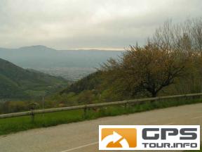
Grenoble is surrounded by three mountain ranges: Chartreuse, Vercors and Belledonnes. During this trip we visited parts of Belledonnes near Chamrousse. We set off from the city as usual.
The long climb starts in Gieres and leads through Uriage les Bains, St-Martin-d'Uriage, St-Nizier, Pinet and a forest road to les Seiglieres. We climb further to 1150 meters and continue to Refuge de Marais and the end of the sealed road.
After a short rest at the opening we return to les Seiglieres and descend through les Bonnets to St-Martin-d'Uriage. We climb once again to St-Nizier and beyond, finally descending through le Chalp to Gieres.
This is a good trip to prepare to climb the Chamrousse. It is a lenghty climb, but the goal is interesting and the second minor climb provides an intense experience. The roads are busy first but it gets better and better. The forest road to les Seiglieres is remarkable and one can have a hot chocolate at its end.
Don't miss a nice castle in Uriage les Bains and you can stop by an old chapel in St-Nizier. The extension to Refuge de Marais and beyond is optional, but very nice.
Mehr Info im WWW
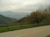 Bild 1†