 Zurück

 - Schwierigkeit
- Erlebnis
- Schwierigkeit
- Erlebnis
MTB to Bjärka Säby
This route partly follows Östgötaleden - a walking trail network through Östergötland. For more information about Östgötaleden, see www.ostgotaleden.se/Default.asp
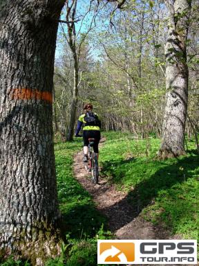
The route runs along paths ands small roads through the most extensive oak landscape in northern Europe. The trail passes scenic pastures, gnarled oaks, locks on Kinda Canal at Hamra and Hovetrop. At the Marina in Hovetrop is a tap for drinking water.
Information about Kinda Canal, see www.ostergotland.info/Themes2.aspx
A nice café is found at the castle Bjärka Säby. The castle café offers light lunches, sandwiches, and and cakes of all sorts. Most of them are home made. For more information and opening hours, see slottskafeet.blogspot.se/ Sorry, just in swedish.
Mehr Info im WWW
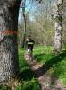 Bild 1
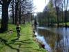 Bild 2
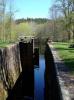 Bild 3
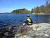 Bild 4