 Zurück

 - Schwierigkeit
- Erlebnis
- Schwierigkeit
- Erlebnis
This tour was record with Garmin Colorado 300 and post-worked with Map Source.
This is a nice loop for hiking or running after your skiing in the Val di Fassa with a nice Dolomiti enviroment.
You can use this loop in both directions and you can start at any position. The following discription is with start in Campitello at the Hotel Wedora close to the cable railway.
The trail goes parallel to the creek up to Canazei. In Canazei you cross the creek and the the trail follows the cross-country track through the nice forrest. You arrive in Campitello and cross again the creek via the new bridge close to the cable railwayand and close the loop.
For running you can use this loop in oposit directions as often you want. For spoty people – this is a good high-altitude training with ideal 1450 meters altitude.
At this trail you will have a wonderful outlook from the Val di Fassa to the unique Dolomiti mountains environment.
Have fun at this nice trail.
P.S. Video-clips to my gps-tours - based on different categories - you can find under the attached link in further
Mehr Info im WWW
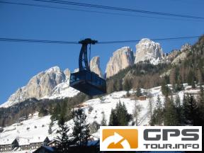
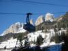 Bild 1
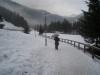 Bild 2
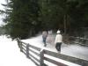 Bild 3
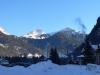 Bild 4