 †Zur¸ck

 - Schwierigkeit
- Erlebnis
- Schwierigkeit
- Erlebnis
Simons Petras - Grigoriou - Dionysiou. Ag. Pavlou - Ag. Annis - Stavros - Panagia - sk. Prodromou - Megistris Lavras. Iviron - Karyai - Tsouknidi - Pantokratoros. Vatopaidiou - Konstamonitou - Dochariou - Xenophontos.
It might be of interest for you that there is a digital Athos Map available at href=http://members.aon.at/~hhausman/athos_map.htm.>http://members.aon.at/~hhausman/athos_map.htm. It can be used for Garmin GPS devices (via Mapsource or BaseCamp), mobile phones, etc.
Mehr Info im WWW
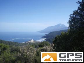
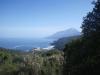 Bild 1†
 Bild 2
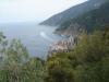 Bild 3†