 †Zur¸ck

 - Schwierigkeit
- Erlebnis
- Schwierigkeit
- Erlebnis
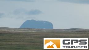
with train to FINSE, then North South trail to Litlosvatnet, then West East trail to Geilo. Train back to Oslo. First mountains up and down, from Litlos hilly and partly muddy. Take gear for heavy rain and wind, gaiters and more for the mud. foggy days can enforce you to have this GPX on your device and follow. Take care all the time.
Mehr Info im WWW
 Bild 1†
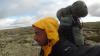 Bild 2
 Bild 3†
 Bild 4